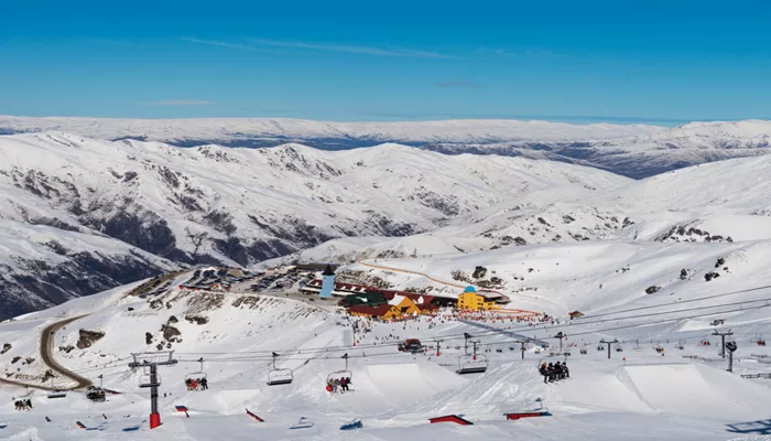
New Zealand’s ski season is off to a strong start as two southerly weather systems bring fresh snow to the South Island.
The first wave, a warmer storm on the night of Wednesday, June 4, 2025, has already laid a dense snow base across Canterbury and the Mackenzie region. A second, colder system arriving Friday night into Saturday will add a lighter powder layer, strengthening the snowpack just ahead of Mt. Hutt’s planned opening on June 14.
While Queenstown and Wanaka will see moderate snowfall, the North Island’s Ruapehu is expected to receive only light, wind-affected snow.
Positive Signs for Skiers and Snowboarders
Strong base building in Canterbury: Mt. Hutt, Porters, Dobson, and Ohau are set to gain about 6 to 10 inches of dense snow Wednesday night. This will be followed by an additional 7 to 17 inches of colder, lighter snow Friday night, creating a well-bonded snowpack of over a foot.
Improving snow quality: The snow line ratio (SLR) will increase from around 10 to the mid-teens during the second storm, resulting in drier, fluffier powder on top of the new base.
Lower snow levels: The freezing level will drop from nearly 4,000 feet on Thursday to about 1,000 feet on Saturday, ensuring snow coverage on all slopes.

